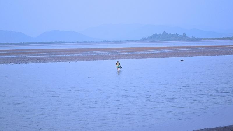
Study Examines the Flooding of Deltaic Regions
Deltaic regions are areas where rivers deposit their sediment and create a network of distributaries, estuaries, and wetlands. These regions are home to a significant portion of the world’s population, and are often prone to flooding. In recent years, the consequences of flooding in deltaic regions have become more severe, with increased frequency and severity of floods and cyclones putting the lives and livelihoods of millions of people at risk.
A recent study has shed light on the flooding of deltaic regions, specifically the Brahmani-Baitarani River delta in Odisha, India. Researchers from the Indian Institute of Technology (IIT) and the National Institute of Technology (NIT) have developed an integrated computer model that uses ocean and river data to predict flooding and cyclones in these regions. This innovative model is designed to help authorities prepare for and respond to flooding events, reducing the risk of loss of life and property damage.
The Brahmani-Baitarani River delta, located in the eastern Indian state of Odisha, is a critical region for the country’s economy and environment. The delta is home to a number of major rivers, including the Brahmani and Baitarani, which flow into the Bay of Bengal. The region is prone to flooding due to its low-lying terrain and the presence of numerous distributaries and estuaries.
Flooding in the Brahmani-Baitarani River delta is a major concern, as it can have devastating consequences for the local population. The region is home to a number of small towns and villages, as well as a significant agricultural sector. The flooding of crops and infrastructure can have a major impact on the local economy, and can also lead to the displacement of people.
The researchers developed the integrated computer model using a combination of ocean and river data. The model uses data from a number of sources, including satellite imagery, river gauges, and ocean buoys. This data is used to simulate the movement of water in the region, including the flow of rivers and the movement of tides.
The model is designed to predict flooding events in the Brahmani-Baitarani River delta, including the likelihood of flooding and the severity of the event. The model can also be used to predict the impact of cyclones on the region, including the likelihood of flooding and the severity of the event.
The researchers tested the model using historical data from the Brahmani-Baitarani River delta. The results of the study showed that the model was able to accurately predict flooding events, including the likelihood of flooding and the severity of the event. The model was also able to predict the impact of cyclones on the region, including the likelihood of flooding and the severity of the event.
The findings of the study have important implications for the management of flooding in the Brahmani-Baitarani River delta. The model can be used by authorities to predict flooding events and to develop strategies for responding to these events. The model can also be used to develop more effective flood warning systems, which can help to reduce the risk of loss of life and property damage.
The study also highlights the importance of integrating ocean and river data in flood prediction models. The model developed by the researchers is the first of its kind to use data from both ocean and river sources. This integrated approach can help to improve the accuracy of flood prediction models, and can also help to reduce the risk of flooding in deltaic regions.
The study’s findings also have implications for the management of cyclones in the Brahmani-Baitarani River delta. The model can be used to predict the impact of cyclones on the region, including the likelihood of flooding and the severity of the event. This can help authorities to develop strategies for responding to cyclones, and can also help to reduce the risk of loss of life and property damage.
In conclusion, the study examines the flooding of deltaic regions, specifically the Brahmani-Baitarani River delta in Odisha, India. The researchers developed an integrated computer model that uses ocean and river data to predict flooding and cyclones in these regions. The model can be used by authorities to predict flooding events and to develop strategies for responding to these events. The study highlights the importance of integrating ocean and river data in flood prediction models, and can help to reduce the risk of flooding in deltaic regions.
News Source:
https://researchmatters.in/news/innovative-smart-model-predict-flooding-deltaic-regions


